Holland Canals & Islands
Having just completed the Dutch “Standing-Mast Route” I thought I would give you an overview and some images from the trip. Much more fun and lovely than we had expected!!
Stand Mast Route as it is called in the Netherlands allows bigish boats to cross Holland from the German border to the North Sea coast with the mast up. This compares to most European canals that have lower clearances, the Stand Mast Route allows 30meter heights, so our 20.5m (67 feet) is fine.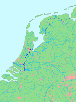 See Wikipedia page or search “staande mastroute” or “standing mast route” for more info.
We started on the Ems river on the right but wanted to visit one last Frisian Island so hopped up north to do that first. Then we joined the Staande Mastroute at its most northerly where it is close to the Waddensee. This meant a tricky patch of navigating through the shallow tidal sands en route to Schiermonnikoog.
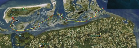
This channel only allows passage for shallow boats and we saw only the lovely Dutch sailing barges plus a few of the special shallow ferries that take people out to the islands. This chart is “not to be used for navigation” :-)
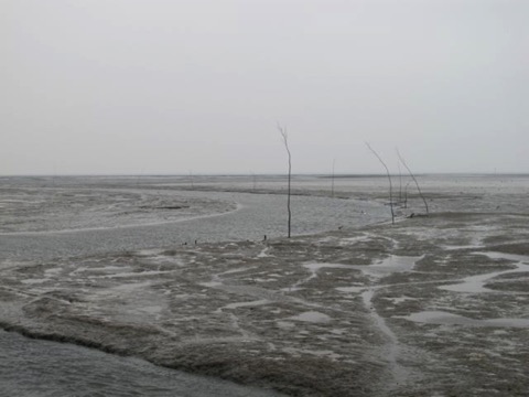
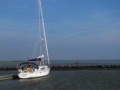
Here is the dock at Schiermonnikoog and the entry channel 2 hours after we came through it (on a falling tide!!) The sticks are the “official” channel marks, called withies.
From here we entered locked into the Dutch Canals didn’t have to worry about tides for a couple of weeks.
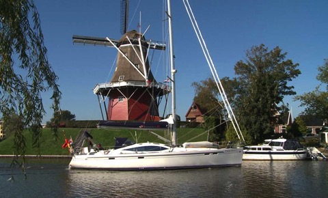
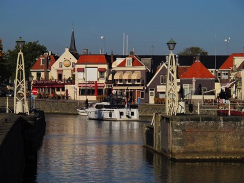
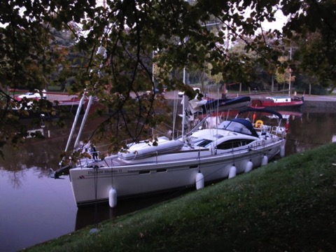
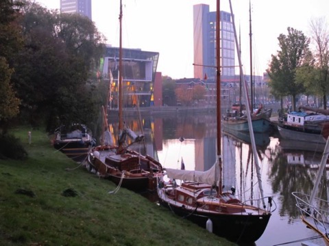
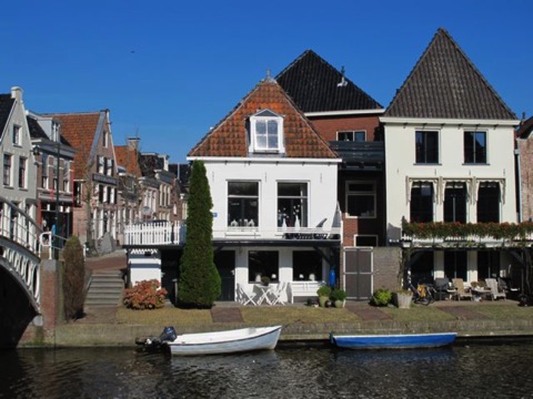
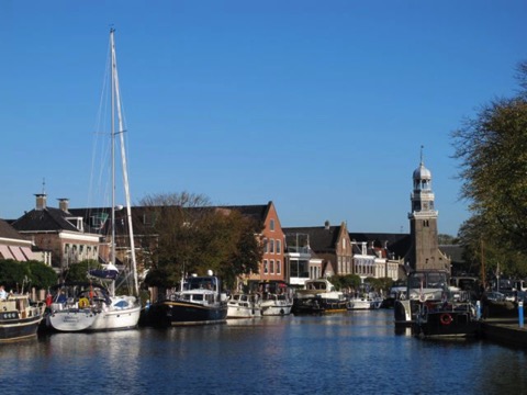
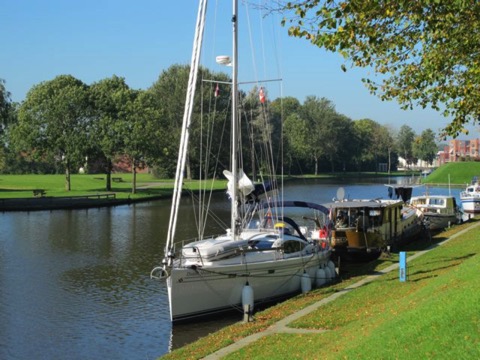
Here are a few pix from the gorgeous Dutch canals. We tied up each night in another VERY CUTE and tidy Dutch town.
If you choose to do this very nice route...
Here are some shots
Stand Mast Route as it is called in the Netherlands allows bigish boats to cross Holland from the German border to the North Sea coast with the mast up. This compares to most European canals that have lower clearances, the Stand Mast Route allows 30meter heights, so our 20.5m (67 feet) is fine.
We started on the Ems river on the right but wanted to visit one last Frisian Island so hopped up north to do that first. Then we joined the Staande Mastroute at its most northerly where it is close to the Waddensee. This meant a tricky patch of navigating through the shallow tidal sands en route to Schiermonnikoog.
This channel only allows passage for shallow boats and we saw only the lovely Dutch sailing barges plus a few of the special shallow ferries that take people out to the islands. This chart is “not to be used for navigation” :-)
Here is the dock at Schiermonnikoog and the entry channel 2 hours after we came through it (on a falling tide!!) The sticks are the “official” channel marks, called withies.
From here we entered locked into the Dutch Canals didn’t have to worry about tides for a couple of weeks.
Here are a few pix from the gorgeous Dutch canals. We tied up each night in another VERY CUTE and tidy Dutch town.
If you choose to do this very nice route...
- mast height must be less than 30 meters (a power wire crosses)
- depths seem fine up to perhaps 6 feet
- take your time and enjoy!
Here are some shots
blog comments powered by Disqus